
Trace Tyler Streets by Address
A street-wide inquiry in Tyler is a series of parcel checks, not one official roster. Start with the physical address, also called the situs address in Tyler appraisal work. Tyler city or county mapping can establish whether the point is in Tyler or in the surrounding county area. From there, the Tyler parcel record can supply an owner name, a parcel or account reference, and a legal description. The recorded instrument is the next Tyler source when the question turns to a transfer rather than a current tax record.
- Locate the Tyler address in a city or county map and note the parcel, subdivision, lot, or block details that appear.
- Use the Smith County Appraisal District property-search route with the Tyler address, owner name, or known account reference.
- Search the current owner as grantee in the Smith County Official Public Records Quick Search, then record the seller, date, document reference, and legal description.
- Check the Texas voter-registration route only for a particular person when appropriate. It is not a public screen for every voter on a street.
- For a past address, consult a Tyler Kriss Kross volume or city directory through the library or Historical Society, then verify any lead against the dated record.
Keep a short Tyler source log as you go. An exact spelling, record date, parcel reference, and legal description make a later correction or clerk request far easier. An address search becomes more reliable when every result remains tied to the Tyler address and date that produced it.
Tyler Street Directory Sources
Each Tyler address-keyed source has a narrower job. SCAD maintains Tyler appraisal ownership, address, and tax-map information. The Smith County Clerk preserves the recorded document that explains a transfer. Tyler maps help align a parcel with the street, while eTRAKiT can supply a public permit, project, inspection, or violation lead. The Tyler library and Historical Society supply the older address-to-name layer. Treat these Tyler records as a chain of evidence, not interchangeable proof.
| Address record | Tyler keeper | Useful detail | Access route |
|---|---|---|---|
| SCAD appraisal roll | Smith County Appraisal District | Owner, mailing and situs addresses, account, values, exemptions, map | Property search or SCAD office |
| Parcel and boundary map | SCAD, Smith County Map Site, City GIS | Parcel geometry, roads, map identifiers, city and county reference layers | Public map, with approximate-boundary warning |
| Official Public Records | Smith County Clerk | Grantor, grantee, recording date, legal description, instruments | Quick or Advanced Search, counter, historic microfilm |
| Permit or code record | City of Tyler eTRAKiT | Property, project, inspection, license, violation, or public issue | Public search and map modules |
| Kriss Kross directory | Tyler Library and Historical Society | Historic address or telephone to occupant or subscriber clues | Appointment and physical collections |
The Tyler parcel reference and legal description do the most work when a street name has changed, is abbreviated, or appears without a house number in an older document. A Tyler plat connects a subdivision to lots and blocks. That bridge keeps an address-based search from relying on a modern Tyler street label alone.
Note: A map boundary is approximate, so use a recorded plat, deed, or survey when a legal property line matters.
Search Fields for Tyler Parcels
SCAD identifies owner-name search as an available Tyler property-search function, but the public interface was not exposed in the research capture. Use the known Tyler route without guessing at hidden filters or match rules. A Tyler property result should distinguish a mailing address from the situs address. The first is where tax correspondence goes and may be a post office box or another city. The second is the physical Tyler taxable location.
| Portal field or route | Type | Verified use |
|---|---|---|
| Owner name | Search text | SCAD identifies owner-name searching; partial-match rules were not captured. |
| Property or situs address | Search text | Use the physical address; exact label and suffix behavior were not captured. |
| Account or parcel identifier | Search text | Use after a map or deed yields a known identifier. |
| Map or property result | Result or map route | SCAD maintains ownership, deed-processing, tax-map, and property-address records. |
| Exemption, value, or sketch | Result fields | Do not treat an appraisal field as proof that every household member is present. |
- Parcel
- A taxable piece of land identified in the appraisal system.
- Situs address
- The physical location assigned to the taxable parcel, distinct from an owner mailing address.
- Plat
- A recorded map that lays out a subdivision, lots, blocks, streets, or easements.
- Kriss Kross directory
- A reverse directory arranged to connect a street address or telephone clue with a dated listing.
Tyler Street Maps and Jurisdiction
The Smith County Map Site is the practical starting point when it is unclear whether an address falls inside Tyler. Within city limits, Tyler GIS handles address questions at (903) 533-2094. Outside the limits, the Smith County 911 District handles them at (903) 566-8911. The city GIS page also links road, city-limit, county, utility, permit, and inspection resources, although the public research capture did not verify named adjacent-parcel or buffer controls.
Tyler GIS and address-authority resources show the city and county map routes used to place an address before an ownership record is reviewed.
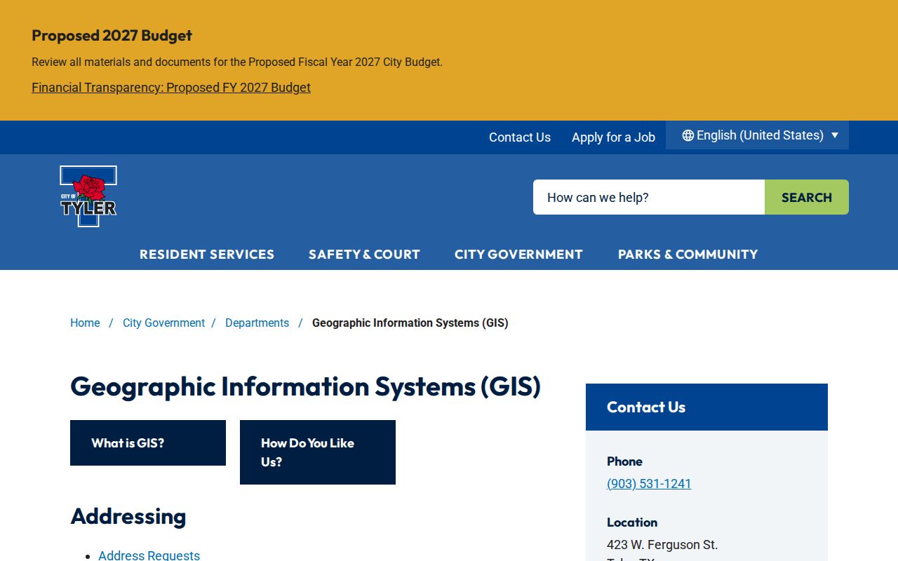
That map layer helps separate a city service question from a county parcel question. It does not replace the legal description in a recorded instrument or a survey of the property.
Tyler Street Deeds and Plats
Once Tyler SCAD supplies a current owner or parcel clue, the Tyler deed trail begins in the County Clerk's Official Public Records system. Search the present owner as a grantee, open the record details or image when available, and capture the seller, recording date, document number or book and page, plus the legal description. Then search that seller as grantee in an earlier period. If a Tyler street address fails, search the subdivision, lot and block, survey, abstract, acreage, or other legal-description words instead.
The Tyler Quick Search accepts a grantor or grantee, subdivision, document type, or document number in its Search Term field. It also offers recorded-date fields and rolling date choices. Index Only searches indexed metadata and splits multiple words; Index & Full Text searches OCR and treats multiple words as a phrase. The official Tyler portal is marked certified through August 31, 2026, but no earliest online index year was published. For deeper Tyler research, the Texas State Library guide documents Smith County deed and index microfilm from 1846 through 1906 at the county and East Texas A&M route.
Note: A deed records a transaction, and a trust, estate, lien, release, or correction can explain a name without establishing current occupancy.
Tyler's 180,000 Parcel Scale
Tyler's SCAD reports that it appraises approximately 180,000 parcels across more than 900 square miles for 24 taxing entities. That Tyler scale explains why a whole-street task works best in short, address-based passes. Start at a known Tyler number, preserve its parcel details, then move to the next verified parcel rather than trying to turn a broad map into a household list.
Tyler SCAD processes deeds, maintains tax maps, and updates ownership records, yet it is not the tax collector and does not set tax rates. The Smith County Tax Assessor/Collector has a separate tax-estimator route. Use the Tyler appraisal roll for its ownership and parcel functions, then confirm recorded transfer information with the County Clerk.
Tyler Address Records in eTRAKiT
Tyler eTRAKiT provides public routes for permits, properties, projects, inspections, licenses, violations, public issues, and a map. Its address-based material can help date construction, alteration, or a code case. A permit applicant, contractor, or deed party is not automatically a current occupant, so retain the record type and date with any result.
Tyler Code Enforcement uses eTRAKiT for address-based violation material and lists 40 case types. Reports may be anonymous. The research capture did not establish every result field or the historical cutoff, so an absent public result should not be treated as proof that no work or case exists.
The Tyler eTRAKiT address and property search is a useful public layer when the address trail needs a dated property event.
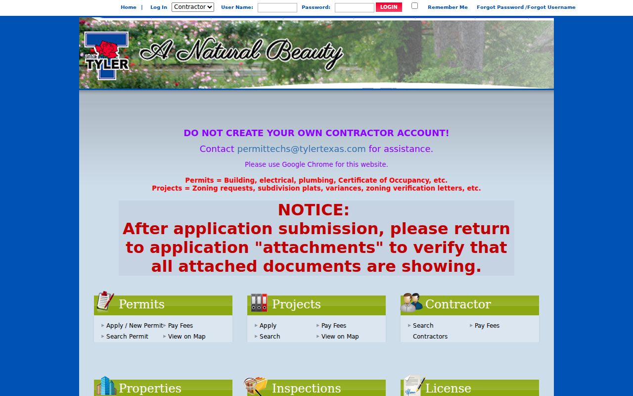
Use the displayed property and map information as a lead, then compare it with the parcel record and recorded document for the same address.
Tyler Kriss Kross Street Directory
For an earlier address, the Tyler street directory has a physical reverse-directory layer that online Tyler parcel tools do not replace. The Tyler Public Library and Smith County Historical Society hold Kriss Kross directories for 1958-1959, 1962-1969, 1971-1973, 1974-1988, and 1993-94. Those volumes can translate a Tyler street address or telephone clue into a dated occupant or subscriber listing, with the usual gaps and publisher limits.
The Tyler Public Library Local and Family History room offers directories, newspapers, maps, and microfilm through its third-floor appointment access. The Smith County Historical Society archives holds house files organized by street, maps, photographs, newspapers, and directories. Its materials are staff-pulled by appointment, with no public browsing, photography, or scanning. A past household lead from either collection should be checked against its publication date and other records.
Note: Historic street numbers may not match a modern situs address, so compare directories with plats, maps, and the legal description.
Tyler Street Voter Boundaries
The Texas Secretary of State's Am I Registered? route is person-oriented. Smith County documents three routes: VUID from a registration certificate, a Texas driver-license number if it was supplied in registration, or a first-and-last-name search. It is not documented as a public display of every voter on a named street. Registration, address, precinct, and district information also remain subject to Texas confidentiality rules and the request mode.
A fuller Tyler voter-list request uses Form 24-1 and can be scoped by county, district, or precinct, not by an unrestricted street query. The form requires a notarized affidavit, uses a $75 deposit, and has a stated 15-day statutory delivery rule. It also restricts use for advertising or promotion. Protected addresses, phone information, and other confidential data remain unavailable. That makes the individual lookup a verification tool, not a substitute for address records.
Tyler ZIP, City, and 911 Boundaries
A postal ZIP, a Tyler city limit, a Smith County 911 address point, and a deed legal description are separate geographic keys. A Tyler mailing address can sit outside incorporated limits or in the extraterritorial area. Postal routes can also cover nearby communities or special institutions. Verify the address with the postal result, city address lookup, county map, and SCAD situs before treating a location as a Tyler municipal address.
The original Tyler town site was centered on a five-by-four street grid around the public square, but the research did not locate a verified citywide renumbering year. For an old street reference, compare the circa-1850 plat, directories, the digitized 1885 Sanborn map, GIS, and Historical Society street files. This prevents a current map pin from masking an older lot or street-name change.
For a postal-area workflow before moving to a named street, use the Tyler ZIP code directory to verify the delivery geography first.
Limits of Tyler Street Directory
A street directory can show public parcel, deed, permit, or historical listing clues. It cannot identify every person connected with an address. Non-owner household members may not appear in property or directory records. Driver-license data is restricted, utility customer accounts are not a public GIS layer, and voter, court, adoption, or juvenile records can be protected or sealed. A mailing address, homestead exemption, deed party, or permit applicant is not conclusive proof of present residence.
Lawful use. Tyler address records are for lawful personal, family-history, civic, and safety research. Texas Penal Code sections 42.07 and 42.072 address harassment and stalking; never use public details to threaten, surveil, harass, or harm another person.
When a Tyler public route is silent, contact the actual custodian for releasable records or use the Tyler library and archive channels for historical material. Do not fill an empty result with an assumption about a household.