
Tyler Neighbor Lookup Sources
Tyler neighbors are best researched as a small group of parcels around one subject address. The Smith County Map Site and SCAD map layers are the starting point for parcel outlines and the route to public ownership records. The City of Tyler address lookup can add the official neighborhood association label, council district, polling location, beat officer, and service schedule. A deed index can explain ownership changes. eTRAKiT can add work history for an address. These records describe parcels, public services, and filings, not a full roster of people on a block.
| Source | What it shows about a Tyler block | Access route |
|---|---|---|
| Smith County GIS and SCAD map | Approximate parcels, map identifiers, roads, boundaries, and owner-link route | Public map viewer |
| SCAD appraisal roll | Taxable owner, situs, mailing address, value, exemption, and account details | Property search |
| County official records | Deed parties, legal description, date, and related filings for a parcel | Official Public Records |
| City address lookup | Neighborhood label, district, polling place, beat officer, and city-service details | Tyler address lookup |
| Library and Society directories | Past address subscribers and historical street context | Appointment and physical collections |
A SCAD owner name or tax mailing address does not prove that person lives at the parcel. An owner may use another mailing address, and people who do not own a parcel may not appear in any property record. Keep property facts separate from assumptions about households.
Mapping a Tyler Neighbor Block
Use a tight block method for Tyler neighbors. Start with the subject address in the City or County map, confirm whether it is within Tyler city limits, and identify its parcel and legal description. The city sends city-limit address questions to its address authority, while unincorporated locations fall under Smith County 911. Then move only to the contiguous polygons on each side, across the street, and behind the parcel. Map controls for an automatic adjacent-parcel or buffer search were not confirmed in the research, so visual parcel review is the reliable documented method.
- Locate the address in the Smith County Map Site or Tyler map route and note the parcel ID, physical location, and subdivision or lot information if shown.
- Turn to the surrounding parcel shapes one at a time. Record only the public parcel identifier and owner-link route for each immediately adjoining lot.
- Open SCAD for each parcel to compare its owner, situs, tax mailing address, exemption, and map information. A tax mailing address is correspondence data, not an occupancy finding.
- Use the legal description in the Smith County deed index when an ownership change needs context. For a full named-street chain, use the Tyler streets directory rather than stretching a block search into a citywide one.
The result is a parcel picture, not a list of every neighbor. That distinction matters when a lot is owned by an estate, trust, organization, or person whose mailing address is elsewhere.
Tyler Parcel Map Limits
SCAD Mapping and Records processes deeds, updates ownership information, maintains tax maps, and keeps property-tax address records. That makes SCAD useful as a current-owner index. The County Clerk's recorded instrument is the source for the underlying deed and legal description. A situs address is the physical location of the parcel. A mailing address is where tax correspondence goes. Those two fields can differ, and neither one proves the identity of every person at an address.
| Map or parcel route | Type | Verified Tyler use |
|---|---|---|
| Locate an address | Address input | City GIS directs uncertain city-limit questions to the Map Site |
| Parcel boundary or identifier | Map layer or click result | Route from a parcel polygon to SCAD ownership and legal-description research |
| City and county boundary | Map layer | Separates Tyler city services from Smith County 911 routing |
| Permit and inspection layers | Linked map layer | City GIS links its permit and inspection dashboards |
| Buffer or adjacent selection | Tool not confirmed | Use visual parcel review because exact control behavior was not documented |
Map boundaries are approximate and are not a survey or legal boundary determination. A subdivision plat, recorded deed, or survey is needed when the legal line matters. Historic and rural descriptions may use a lot, block, addition, survey, abstract, or acreage instead of a present street number. Search those terms in Official Public Records when an address returns nothing.
- Parcel
- A parcel is a defined piece of taxable land recorded in the appraisal system, often with its own account number.
- Situs address
- The situs is the physical location used for the property record, separate from the tax mailing address.
- Legal description
- A legal description identifies land by details such as lot, block, addition, survey, or acreage, not merely a street name.
Tyler Neighborhood Association Records
The City of Tyler's address lookup supplies an official neighborhood association result when an address is mapped. Its documented sample returns Fischer Woods along with government service information. The result is a neighborhood label, not a membership list. For association coverage, Texas has a management-certificate search that can filter by Smith County, Tyler, ZIP, and POA or COA type. Certificates and recorded declarations are stronger evidence of association coverage than an informal social post.
Stonegate HOA
Public materials identify board or officer roles, association documents, and Stonegate Boulevard in ZIP 75703. They are a document and contact layer, not a public household list.
Hamilton Meadows HOA
Public materials list documents, events, participation information, and a contact number for the Tyler association at 6011 Hamilton Meadows Way, ZIP 75703.
Villages HOA
Its public materials describe property maps, board terms or initials, and management contact. Public maps can clarify coverage without identifying residents.
Visible Tyler and Smith County certificate examples include Copeland Woods Unit I and II, Woodbridge, Ashmore Tyler, Legacy Bend, Holly Square, Hamilton Meadows, Acadia Place, and Hamilton Commons. A certificate can connect a subdivision to an association or manager. It does not authorize collection or disclosure of private member communications.
Tyler Neighbor Voter Boundaries
Texas voter tools are person-oriented. Smith County documents individual lookup by VUID, first and last name, or a driver-license number supplied in registration. The materials do not describe a public screen for showing all registered voters on a street or block. Registration is not a household directory, and a public result should not be republished as if it were one. Voter information also has strong confidentiality limits.
A formal state voter-file request uses Form 24-1. It can specify county or precinct scope, active, suspense, or cancelled flags, and delivery format. It also requires a notarized affidavit, a $75 deposit, and a statement against advertising or promoting commercial products or services. Social Security numbers, driver-license information, phone data, protected addresses, and Address Confidentiality Program information remain confidential. The form is a regulated public-record route, not an unrestricted block roll.
Note: A precinct is an election area, not a parcel boundary, so its records cannot establish who belongs to one Tyler block.
Tyler Neighbor Address Work
Public address records can show work performed on nearby parcels without identifying every nearby resident. Tyler eTRAKiT has public modules for permits, projects, properties, inspections, licenses, violations, public issues, map viewing, and address location. A permit or inspection may help date construction or alteration. A code entry may describe a case type or status. It is evidence about a property event, not proof of who was at home when an event occurred.
Tyler Code Enforcement explains the city route for address-based cases and public issues.
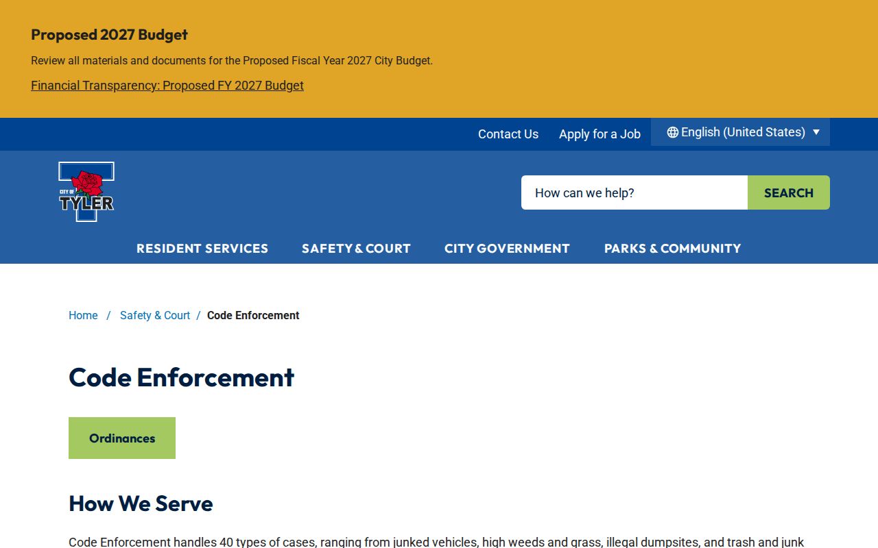
The Tyler neighbors image supports a block search that stays focused on public address-based records and the city office that manages them.
Code Enforcement handles 40 kinds of cases and says anonymous reports are accepted. A report asks for an address or nearby intersection, violation description, and contact number. The reporting channel protects the reporter and does not demonstrate that a named person lived at the address. Exact eTRAKiT result fields and historical coverage were not confirmed in the reviewed material.
Tyler Neighbor History Trails
Historic Tyler neighbors are often easier to approach through a street address than a name. Tyler Public Library holds Kriss Kross directories indexed by telephone number and street address for 1958-1959, 1962-1969, 1971-1973, 1974-1988, and 1993-94. The Historical Society describes Criss Cross city directories across various years and keeps house vertical files by street, maps, photographs, local directories, and newspapers. The Society is appointment-based, uses staff-pulled material, and does not allow public browsing, photography, or scanning.
For a past block, first preserve the street spelling and number as printed in the directory. Then compare the alphabetical directory, a telephone book, deed transfer, newspaper notice, or obituary. Historic Tyler has an original five-by-four street grid and later map changes, but the research did not establish a citywide renumbering year. Compare the circa-1850 plat, later maps, and directory street guides instead of forcing an old number onto a modern parcel.
Comparing Tyler Neighbor Sources
Official sources and commercial neighbor tools serve different purposes. A map, appraisal roll, deed index, city address tool, or association certificate names its keeper and gives a limited, checkable record. Commercial tools often combine public records, brokered data, and public social information into a broad report. That can be convenient, but a broad report can contain stale addresses, conflated same-name people, and relationships that have not been verified by the proper custodian.
| Official parcel and city records | Commercial neighbor tools |
|---|---|
| Shows a defined record, source office, and access rule | May combine data from different dates and sources |
| Supports checking a parcel, deed, service area, or certificate | May merge same-name people or use outdated address data |
| Allows a correction request to the custodian that created the field | Usually requires separate opt-out or correction requests |
Start with the official record for the fact being checked. When data is wrong, SCAD corrects appraisal information, the County Clerk handles recorded instruments, city departments maintain city records, and Elections or the Secretary of State handles voter information.
Tyler Neighbor Lookup Privacy
A neighbor search leaves out many people by design. Property data may omit people who are not owners. Utility accounts, motor-vehicle information, delivery details, private association communications, and many household details are not public parcel layers. Voter protections cover sensitive identifiers and protected addresses. The Texas Attorney General Address Confidentiality Program gives qualified participants a substitute mailing address, and their information is not part of ordinary county registration forms.
SCAD's Tax Code §25.025 process can replace a qualifying owner's displayed name with “CURRENT OWNER” on SCAD and map-site websites. The form is limited to website display. It does not erase a deed, public tax response, library source, or record maintained by another custodian. Sealed court, juvenile, adoption, and confidential victim material must not be reconstructed from other sources.
Lawful use. Tyler neighbor lookup records are for personal, civic, family-history, and safety research. Using them to watch, stalk, harass, threaten, or intimidate another person can violate Texas law.
Tyler Neighbor Record Fallbacks
When map or portal details are incomplete, contact the office that keeps the record. For an address inside Tyler city limits, the city gives its address authority as (903) 533-2094. Outside city limits, Smith County 911 is the documented route at (903) 566-8911. Tyler GIS can answer map and offline-data routing questions, while the County Clerk can explain recorded property access. Ask for a specific parcel, address, date range, or document type rather than asking staff to identify residents.
For older neighborhood context, request a particular directory year, house file, newspaper reel, or map from the Tyler Public Library or Smith County Historical Society. The library offers the public research room and equipment; the Society's appointment system works best with a street, year, and narrow research topic. Both routes preserve the useful difference between documented block history and private household information.